Every image solution. One partner.
We deliver drone imagery, digital twins, and spatial imaging systems for both residential and commercial projects. Every capture is precise, scalable, and ready for documentation, modeling, or visualization.
Our approach
We capture reality with intent. Every project is planned, measured, and executed using modern imaging and spatial capture tools. Our process prioritizes accuracy and consistency from capture through delivery. The result is clear, reliable visual data designed for real-world use.
Imaging solutions built for residential and commercial projects.
We capture, process, and deliver high-fidelity imagery for any environment. Our workflows adapt to the needs of homes, offices, and industrial spaces, ensuring every project receives precise, usable visual data.
Serving the Portland metro area and beyond.
Advanced imaging and reality capture, executed with precision. We combine modern hardware with disciplined workflows to produce accurate, usable visual data. Built for today’s projects and tomorrow’s needs.
Our Expertise
-
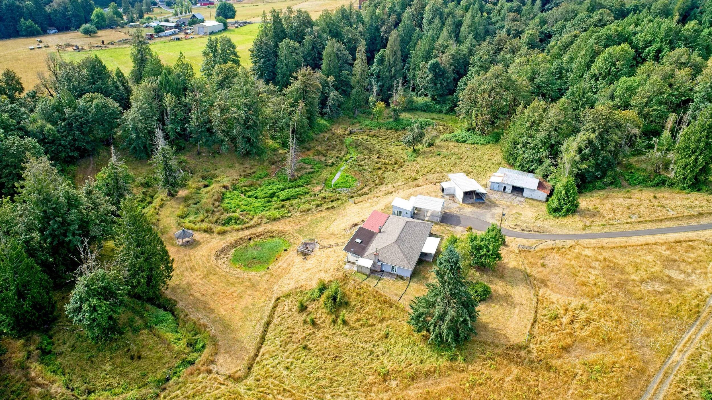
Aerial Reality Capture
-

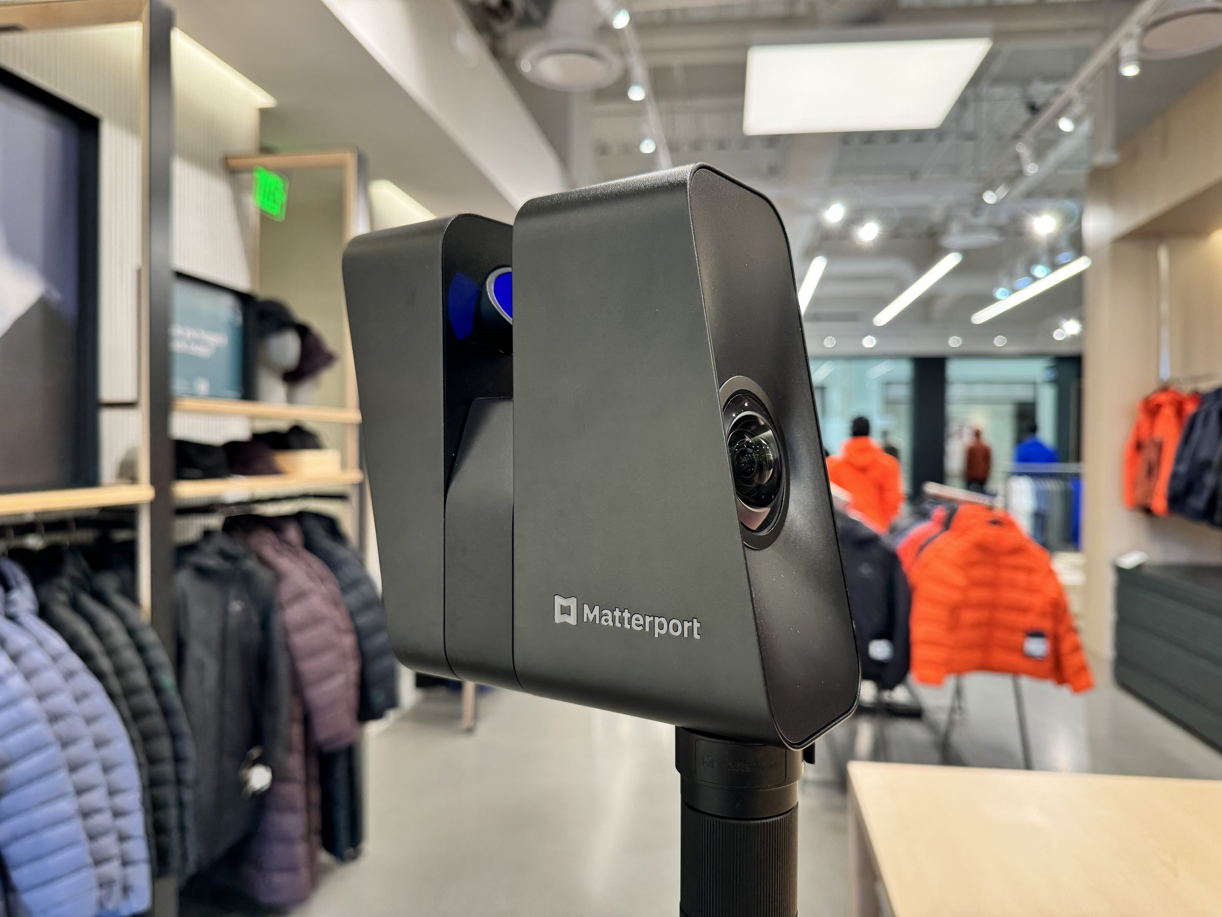
LiDAR Digital Twins
-
Spatial Measurement & Modeling
-

Custom Solutions